


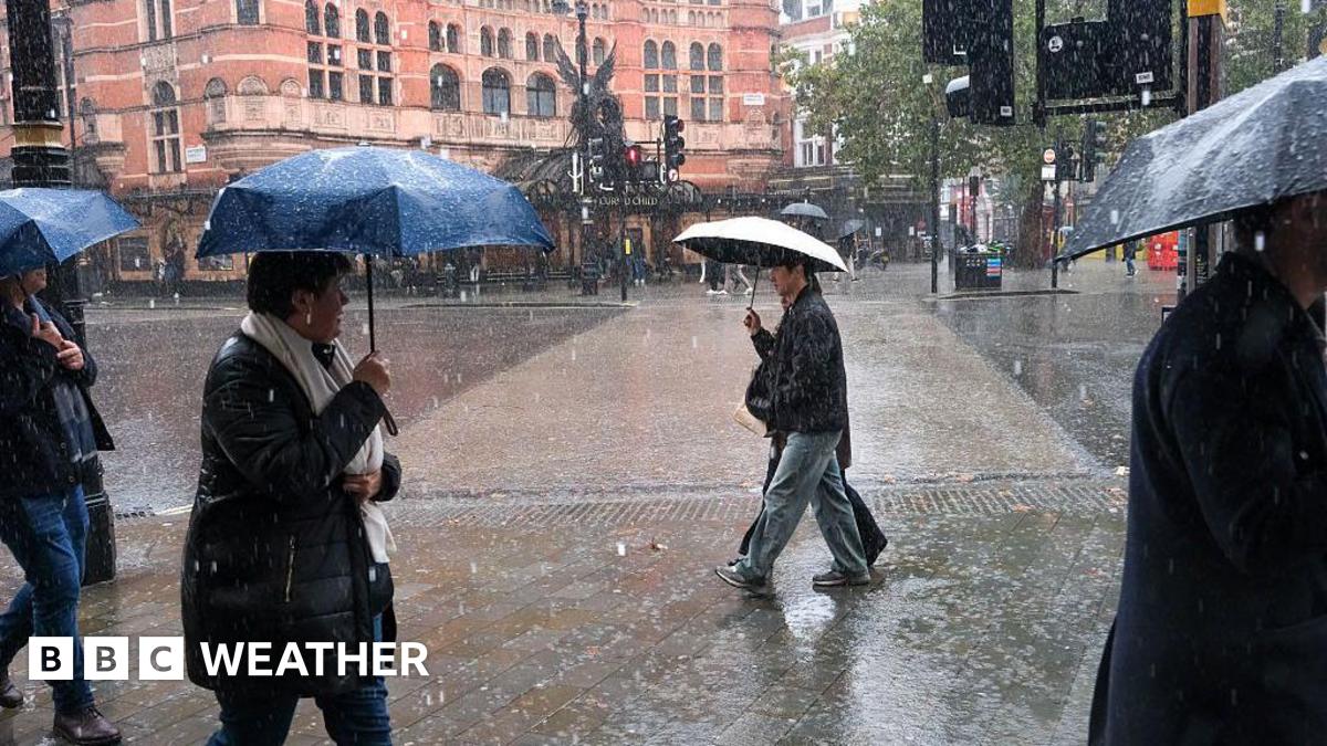


The Met office has issued a number of yellow warnings as a developing weather system sweeps across England and Wales on Saturday bringing heavy rain and the possibility of strengthening winds.
There are still uncertainties with the detail as there are differences in some of the weather computer models on the exact track and development of this system, however, heavy rain is likely for much of England and Wales throughout the day.
A Met Office yellow warning will come into force at 06:00 GMT and run through until 23:59 GMT on Saturday.
The Met Office warning also notes "there is uncertainty in the corridor of heaviest rainfall across England and Wales, but there is potential for 20-30 mm to fall fairly widely with 50 mm possible in places".
Over high ground there is a low chance of 60-80 mm falling.
A strong north to north-easterly wind will develop later on Saturday into Sunday, especially in eastern England where gusts of up to 50mph are possible.
While the wind won't be as strong elsewhere across the UK the resulting northerly airflow will bring colder conditions again.
Maximum temperatures by Sunday will only be around 3-9C.
In Scotland the temperature for some may not rise above freezing - which is called a 'frost day'.
There will also be some wintry showers coming into the north and east of Scotland.
While the rain on Saturday will eventually clear there is more wet weather into next week.
Further Met Office yellow warnings have been issued for rain on Monday and Tuesday in southern areas of England and Wales. Some details are still likely to change but you can keep across the latest here.
There will be a continued risk of localised flooding and strong south-westerly winds will accompany the rain as well.